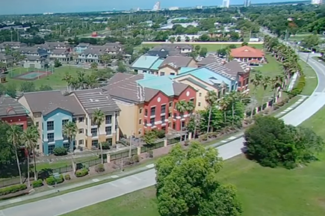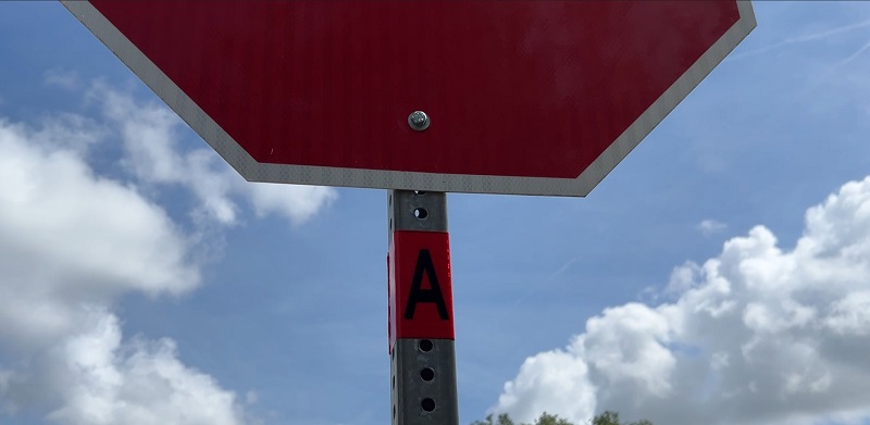
Charlotte County has installed more than 12,900 reflective vinyl bands on stop signs and at intersections across unincorporated areas to help residents and visitors quickly identify evacuation zones during tropical storms and hurricanes, according to the Office of Emergency Management.
The 3-inch-wide bands display both the color and letter of the county’s five evacuation zones: Zone A (red) for the highest-risk, lowest-lying areas near bodies of water, including much of Punta Gorda; Zone B (orange), which together with Zone A accounts for about two-thirds of the county’s population; Zone C (yellow); Zone D (green); and Zone E (purple).
Evacuation zones are based on National Hurricane Center data, elevation, and evacuation routes. They do not directly correlate to a storm’s category. County officials emphasize that storm surge poses the greatest threat to life and property during hurricanes, and the bands are intended to provide a clear reminder of each location’s zone and storm-surge risk.
Residents are urged to review the county evacuation map, identify their zone by color and letter, and plan where to go if an evacuation is ordered. Options include staying with relatives or friends outside the zone, booking a hotel or motel early, or leaving the area entirely. Availability at public shelters should be confirmed before departure. All residents of mobile homes, manufactured homes, and RVs should evacuate before tropical storm-force winds, regardless of their zone.
Because of the county’s low elevation and proximity to water, local shelters may be limited during severe storms. Residents can check their zone at CharlotteCountyFL.gov/KnowYourZone and are encouraged to finalize relocation plans in advance of any storm threat.