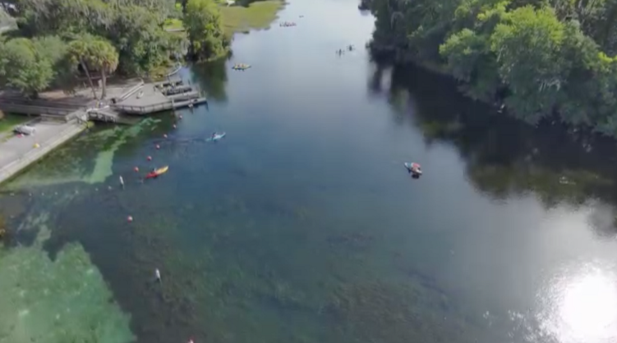
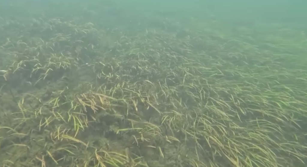
Lately, district staff have been out on the Rainbow River in Marion County, mapping submerged aquatic vegetation (SAV). What’s that mean in practice? And what does this mean for Southwest Florida? They are identifying and recording exactly where freshwater plants and algae grow, noting not just their location but also how thick and widespread these bottom-dwelling communities are. These aren’t just pretty underwater grass beds. SAV is the backbone of spring-fed rivers. It keeps water clean, holds the riverbed together, and feeds and shelters a wide range of wildlife.
Why bother with all this mapping? It’s simple. The data helps staff direct conservation, manage water quality, and keep freshwater ecosystems thriving for our entire Southwest Florida coastal region.
So what exactly do they do? The Southwest Florida Water Management District (SWFWMD) routinely surveys the Rainbow River’s native underwater plants and algae. They track dominant species like tape grass (Vallisneria americana) and eelgrass (Sagittaria kurziana), and keep an eye out for troublemakers like Hydrilla, an invasive species. They map these plants along 28 set paths, transects up and down the river, taking measurements in both summer and winter.
This work matters because it keeps the river’s ecology in balance. With these maps, staff can set limits on how much water gets taken from the river, and they can see where excess nutrients are shifting things out of balance.
Curious about the process? Look for yourself. There’s a visual tour on the SWFWMD Facebook page and on YouTube under Rainbow River SAV Mapping.
Need the data itself? Shoot an email to the Springs Team at [email protected], and they’ll send you the details. Want to dig deeper? Public spatial data are available on the South Florida Water Management District’s Open Data website, or you can find map packages for further analysis on their geospatial resource page.