The National Hurricane Center plans to roll out a revamped hurricane track forecast map this summer, just in time for the start of the Atlantic hurricane season on June 1. After two years of testing, the updated “cone of uncertainty” replaces an older design people have known since 2002.
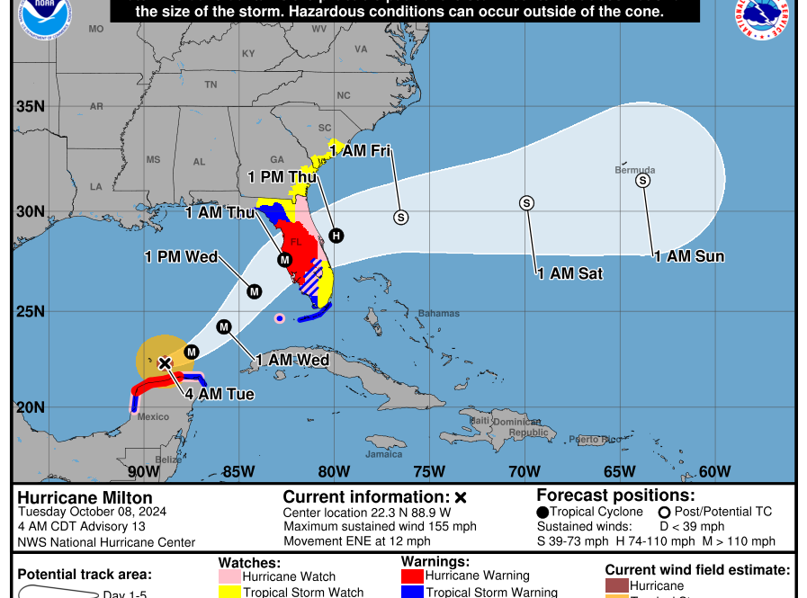
There’s a real push to make these weather warnings clearer for everyone, from families living inland to emergency managers along the coast. Michael Brennan, who leads the hurricane center, says the fresh approach is all about better communication. The old five-day track map was simple: it showed the likely path for the center of a storm and marked where watches and warnings stretched along the coast. But that image didn’t show the full story. It left out inland risks, areas of heavy rain, and the potential for dangerous winds far from the cone’s path. Scientists and meteorologists have debated how best to represent the data for years.
Now, the new graphic adds colored shading inland for tropical storm and hurricane watches and warnings, covering the continental U.S., Hawaii, Puerto Rico, and the U.S. Virgin Islands. The idea is to help people see threats like strong winds stretch beyond the lines of the cone. The new map better conveys wind risk and makes clear hazards don’t stop at the edges.
This season, the hurricane center is also trying out another, even newer experimental version of the cone. Unlike the classic design, which used evenly spaced circles to show where the storm center might go most of the time based on the last five hurricane seasons, this experimental map switches to ellipses. Research showed these oval shapes do a better job showing the areas where the forecast can go wrong, both in speed and direction, and it’s all based on a 90% probability now instead of 67%. The actual path will fall outside the ellipse only about one in ten storms. The result: the cone gets wider, and forecasters can say with more confidence that the storm’s center will stay inside.
Specialists say these updates are enormous improvements, but warn that even the best maps don’t tell the entire story. People get fixated on the center track and forget that life-threatening conditions often happen far beyond that line. This year, they’re rolling out the first dedicated storm surge watches and warnings for Hawaii, and they want people to pay attention.