A strong El Niño looks set to develop by summer 2026. Forecasters say there’s about a 61-62% chance it takes hold between June and August. There’s even a 1-in-4 shot that it grows into a “Super” El Niño, meaning Pacific waters warm by at least 2°C above average, by late 2026 or early 2027.
So what does all this mean for Florida? El Niño usually ramps up wind shear over the Atlantic, which keeps hurricane numbers down. Still, that doesn’t guarantee Florida escapes a powerful storm.
Expect Florida’s weather to shift if El Niño strengthens. Winters turn cooler and wetter, sometimes much wetter, with greater odds for severe weather, including tornadoes.
Super El Niño
If a super El Niño ramps up during the 2026 hurricane season, history gives us a few obvious clues about what to expect.
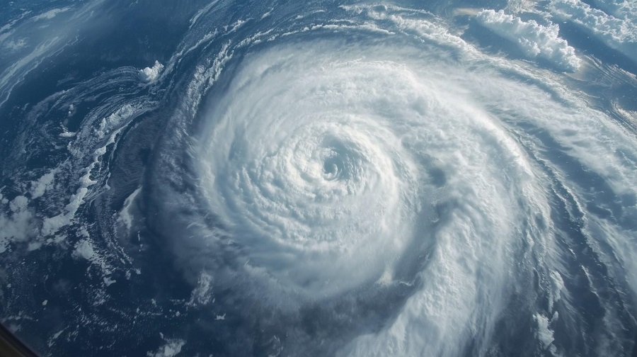
While El Niño isn’t the only factor that shapes a hurricane season, a strong one does influence weather patterns, especially where hurricanes track.
Looking back, typical El Niño years keep most hurricanes spinning over the central Atlantic. Some slip into the Caribbean, and a noteworthy number make it into the Gulf of Mexico.
But super El Niño years, those rare and extreme events, paint a different picture. Across the last four super El Niños, hurricane activity drops sharply. Only twelve hurricanes formed in these years, averaging three per season, less than half the norm. Not a single hurricane has reached the East Coast during these periods. The Gulf of Mexico saw a couple, both only Category 1: Danny in 1997 and Agnes in 1972.
Breaking down the three main patterns:
1. Most hurricanes curve away from the U.S. East Coast during super El Niño years. Track maps show storms heading west, then turning north or northeast, steering clear of the coastline. This happens because the Bermuda High, usually the main steering “wheel” for Atlantic hurricanes, weakens and shrinks during El Niño. Meanwhile, persistent low pressure over the Southeast U.S. nudges storms north and east, away from land. Meteorologists call this turning movement “recurving.”
2. The Caribbean gets a break. Strong upper-level winds and sinking air over the Caribbean during El Niño seasons make it tough for hurricanes to thrive. Wind shear, those layers of wind moving at different speeds, disrupts storm development. As a result, hurricane tracks in the Caribbean have been scarce to nonexistent during super El Niño years. Take 2015’s Hurricane Danny: it hit Category 3 strength east of the Windward Islands, but once it reached the Leeward Islands, strong winds tore it apart.
3. A quiet season can still be dangerous. Even when El Niño tamped down hurricane numbers, all it takes is one storm to upend everything. In 2015, Category 4 Hurricane Joaquin stalled over the Bahamas, causing severe flooding and destruction. That same year, Erika didn’t even become a hurricane but still triggered catastrophic floods in Dominica. And back in 1972, Hurricane Agnes started in the Gulf and brought massive flooding to the Northeast as a tropical storm, claiming 122 lives and racking up what was then the biggest storm-related bill in U.S. history.
While a super El Niño helps shape hurricane paths, keeping them away from the East Coast and Caribbean, the risk never disappears. Every season develops its own surprises.
Don’t let a super El Niño lull you into complacency. Assume each hurricane season is the one that will matter where you live. Get ready, stay alert, and monitor the forecasts, no matter what the seasonal outlook says.